

10
Cutting-edge drone tech maps land and water with laser accuracy
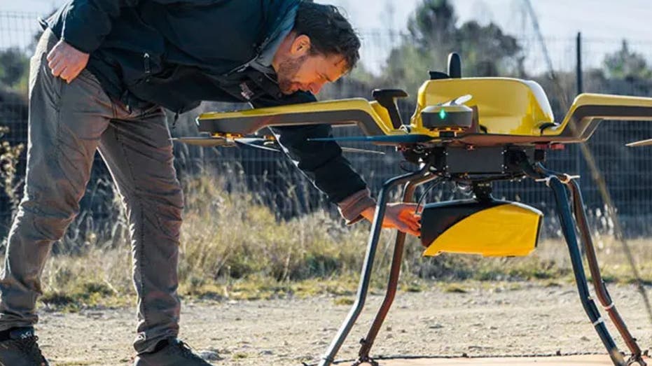
YellowScan’s Navigator system is designed to map underwater topography in rivers, ponds and coastal areas.
YellowScan’s Navigator system is designed to map underwater topography in rivers, ponds and coastal areas.
Support My Work

This website uses cookies to improve your experience. We'll assume you're ok with this, but you can opt-out if you wish. Accept Read More